THE SIELSGROND POLYGON

Begin with the exact land

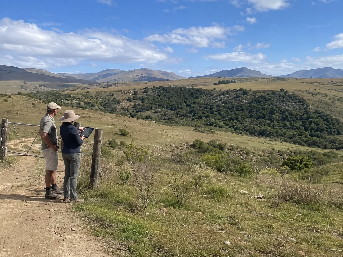
Two people stand at a farm gate overlooking a wider property, with a distinct intact ecological area visible in the valley beyond.

Sielsgrond begins by identifying the specific area being considered.

The Sielsgrond Polygon is the mapped area within the property to which the programme applies. It may be smaller than the whole property, which can also contain ordinary working land, restoration areas and other uses.

Keeping this boundary clear ties the present ecological condition, supportable Ecological Age, field evidence and later refresh records to the same land. These do not extend automatically beyond the polygon.

THE OPENING RECORD

Establish the first evidence position

A practitioner-led field visit opens the evidence record for the Sielsgrond Polygon.

The visit records the mapped land's present ecological condition through field observations, photographs and the required programme records. Evidence is gathered from fixed or repeatable viewpoints so that later visits can return to the same land and compare its condition over time.

The opening record also considers the continuity information provided by the Landowner against what can be supported by field evidence. This establishes the first accepted evidence position for the polygon. It does not by itself create a payment, publication or legal claim.

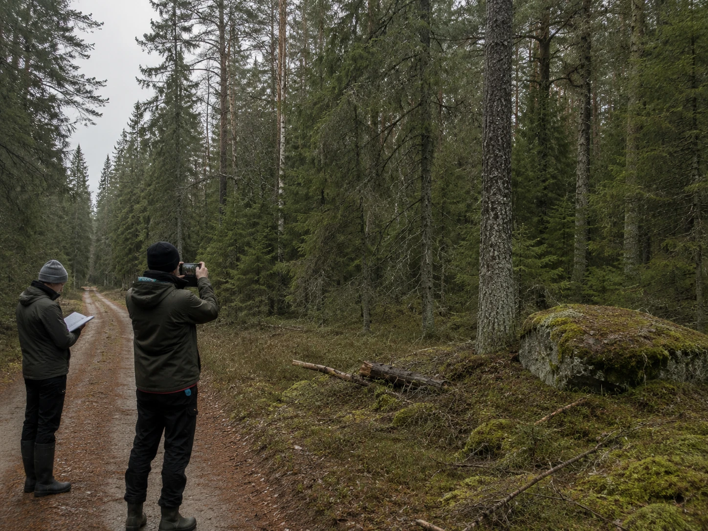
Two practitioners on a forest field visit, one photographing a lichen-covered boulder while the other records field notes.
ECOLOGICAL AGE

Support continuity with more than memory

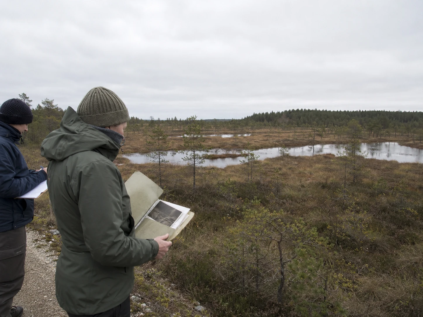
Two practitioners in the field compare a historic photograph from an album against the present wetland landscape while recording notes.

Ecological Age records how long the Sielsgrond Polygon has remained substantially whole.

The Landowner's declaration is the starting point. Historic photographs, aerial records, maps, field notes and local knowledge may support continuity, but none of them establishes Ecological Age by itself.

The programme considers those sources together with the polygon's present ecological condition and the evidence gathered in the field. Responsible use may remain compatible with Sielsgrond where the supported condition and continuity of the mapped land have endured.

THE EVIDENCE LEVELS

One record. Three depths of evidence.

SGP1, SGP2 and SGP3 describe how much accepted evidence continuity the programme record contains. They are not grades of ecological quality, rankings between properties or automatic payment levels.

  1. SGP1

    Sielsgrond Onboarding

    Opening evidence position

    The first accepted programme record includes the opening field visit, photographic evidence, a patrol-log entry, a supportable Ecological Age and a generated stewardship certificate.
  2. SGP2

    Sielsgrond Continuing

    Participation supported by refresh

    At least one refresh cycle has been accepted, and no unresolved non-regression issue remains on file.

  3. SGP3

    Sielsgrond Evidence Continuity

    Deeper evidence continuity over time

    Multi-season or multi-year evidence provides a richer record of the polygon’s condition, continuity and continued protection.

Movement through the levels reflects evidence accepted into the same programme record. It does not represent an automatic ecological upgrade or fixed payment schedule.

THE REFRESH

Keep the evidence record current

Continuing participation is supported by accepted refresh evidence for the same Sielsgrond Polygon.

A refresh returns to the mapped land, updates the field record and compares the present ecological condition with the earlier accepted evidence position. Repeatable photographs and field observations make material change visible over time.

The programme does not begin a new record at every visit. Each accepted refresh extends the evidence chain for the same polygon and may support movement to a deeper evidence level.

Where refreshed evidence indicates that the supported condition or continued protection may have materially weakened, the issue must be addressed through the programme process. Ordinary seasonal variation does not by itself establish regression.

SGP2 requires at least one accepted refresh cycle and no unresolved non-regression issue on file.

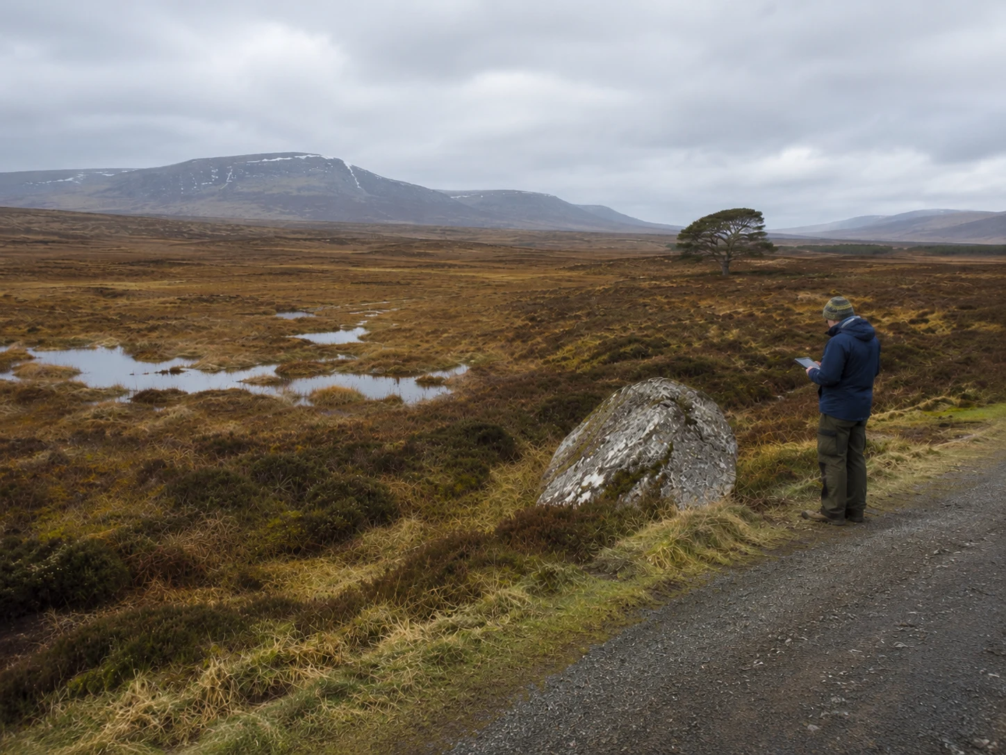
A practitioner records field observations beside an open wetland beneath cloudy mountains.
THE CERTIFICATE

A point-in-time record, not a legal claim

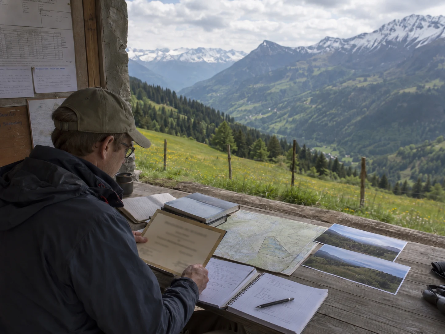
A practitioner reviews a certificate, map, field notes and photographs at a table overlooking an alpine valley.

An accepted evidence position may be recorded in a BESCO Stewardship Certificate for the Sielsgrond Polygon.

The certificate identifies the mapped land, the evidence position supported at that time and the period to which the record applies. It remains tied to the field evidence, photographs, programme records and accepted Ecological Age on which it was based.

The certificate may support later disclosure or downstream assessment, but it does not replace that assessment, the applicable programme rules or any separate agreement.

It does not transfer ownership, create a servitude, authorise a payment or establish an independent legal claim over the land.

The certificate records what the programme could support at that point in time. Continued recognition depends on the evidence record remaining current and the land continuing to be protected.

CONTINUED PROTECTION

Recognition depends on what continues in the land

The Sielsgrond record remains tied to the same mapped polygon and to the ecological condition that the accepted evidence supports.

Responsible use may continue where it remains compatible with the supported condition, continuity and non-regression of the land. Continued protection does not require the complete absence of people, but it does require that the ecological basis of the record is not materially weakened.

Evidence must remain current before the programme can support further recognition, disclosure or any applicable downstream process. A promise of future protection does not replace accepted field evidence.

This public programme page does not enrol land, transfer ownership, create a servitude, authorise payment or establish a legal claim. Any such effect would require the applicable rules, authority and separate agreement.

The programme keeps recognition tied to the mapped land, the accepted evidence and the protection that continues.

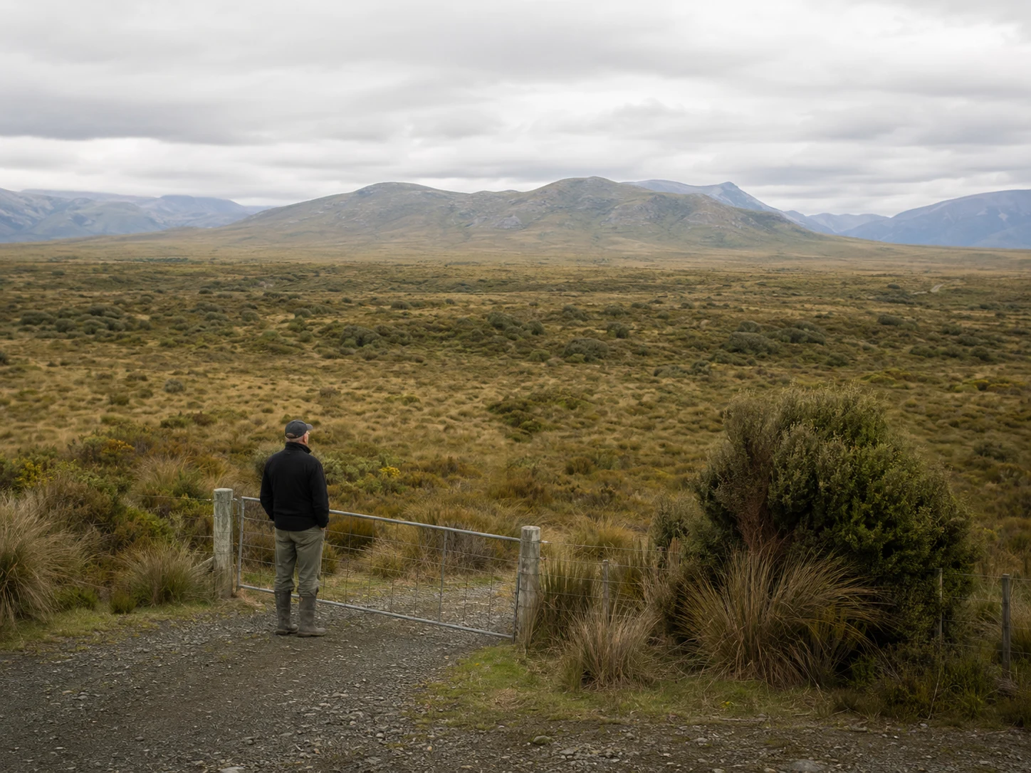
A practitioner stands at a gate overlooking a broad wetland landscape and distant mountains beneath low cloud.

Explore Eco Guilds on the map

See Eco Guilds, registered farms and mapped land across South Africa.

Open the Eco Guild map