SGP1
Sielsgrond 入门
初始证据位置
第一份接受的项目记录包括初始实地访问、照片证据、巡逻日志条目、可支持的生态年限以及生成的管护证书。
从经受住时间考验的生态状况到受治理的证据。
Sielsgrond begins by identifying the specific area being considered.
The Sielsgrond Polygon is the mapped area within the property to which the programme applies. It may be smaller than the whole property, which can also contain ordinary working land, restoration areas and other uses.
Keeping this boundary clear ties the present ecological condition, supportable Ecological Age, field evidence and later refresh records to the same land. These do not extend automatically beyond the polygon.
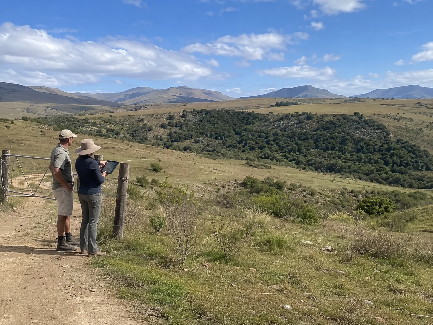
A practitioner-led field visit opens the evidence record for the Sielsgrond Polygon.
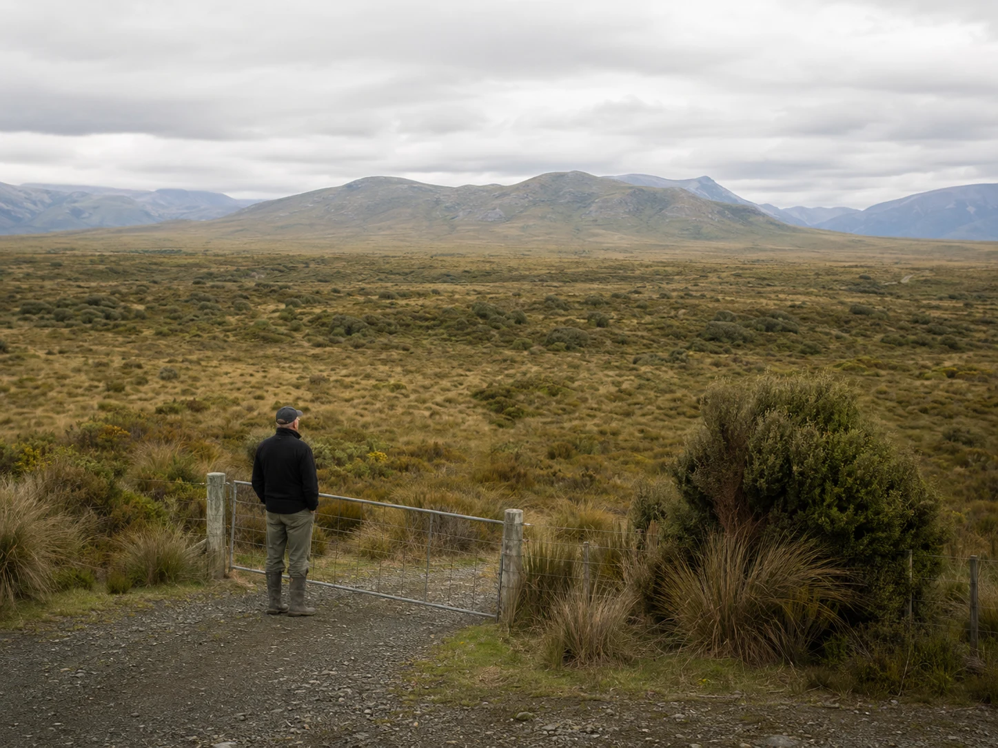
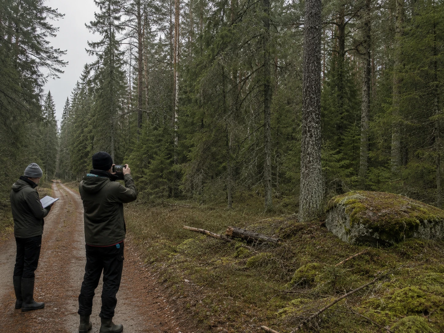
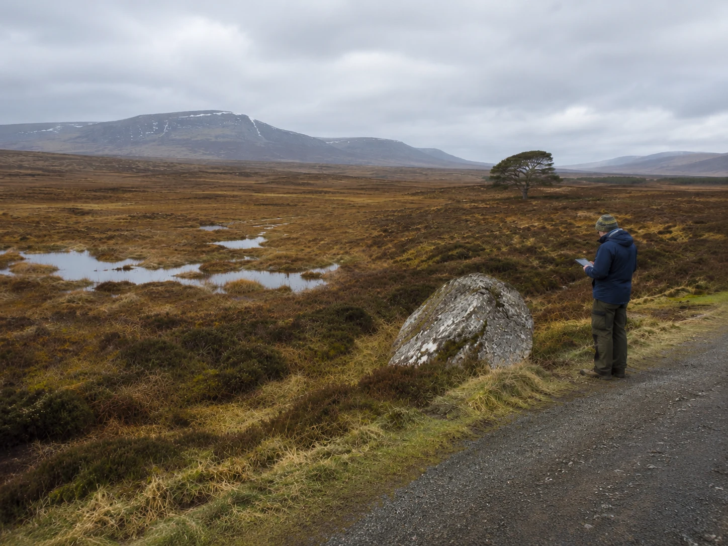
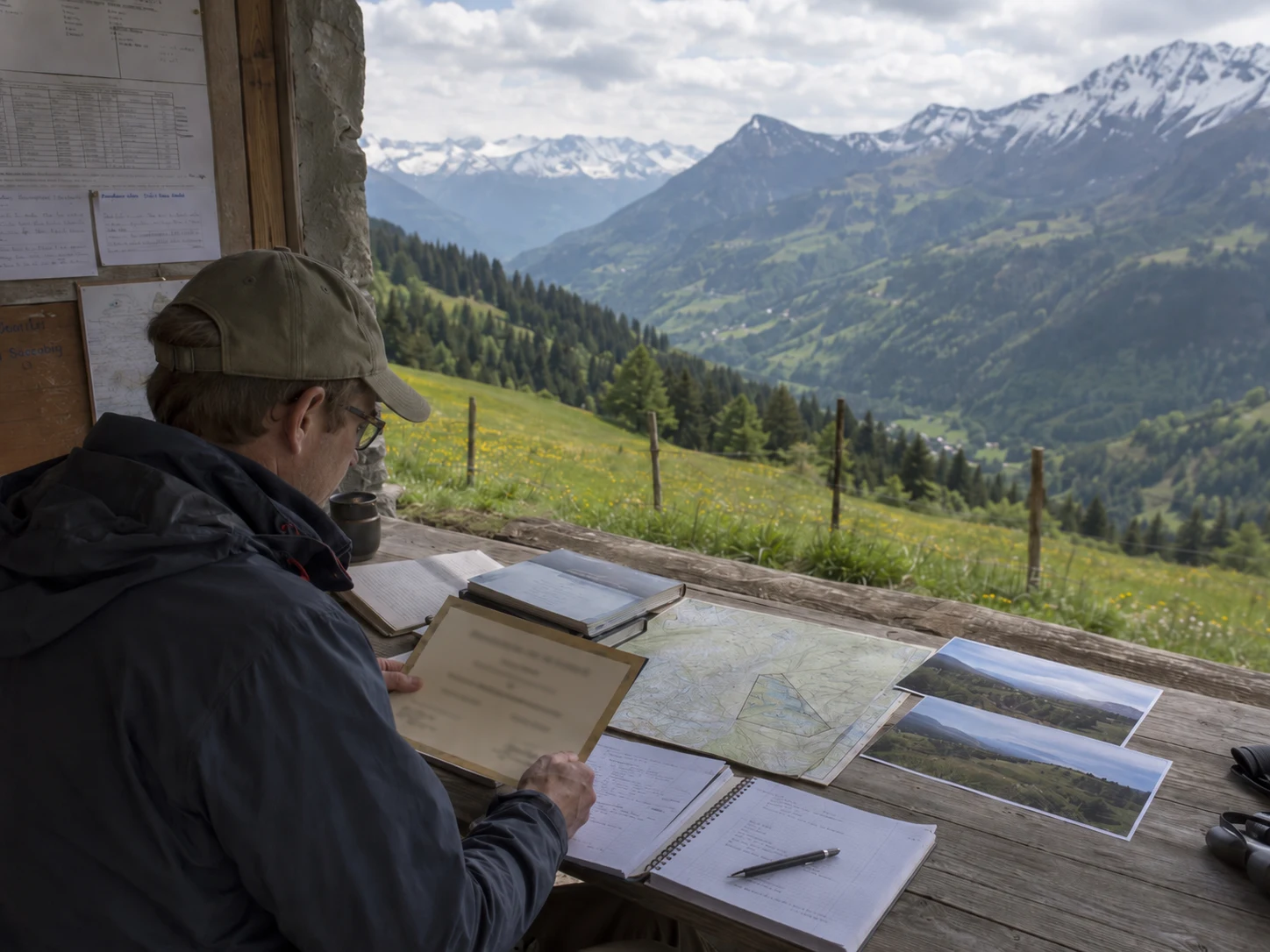
The visit records the mapped land's present ecological condition through field observations, photographs and the required programme records. Evidence is gathered from fixed or repeatable viewpoints so that later visits can return to the same land and compare its condition over time.
The opening record also considers the continuity information provided by the Landowner against what can be supported by field evidence. This establishes the first accepted evidence position for the polygon. It does not by itself create a payment, publication or legal claim.
Ecological Age records how long the Sielsgrond Polygon has remained substantially whole.
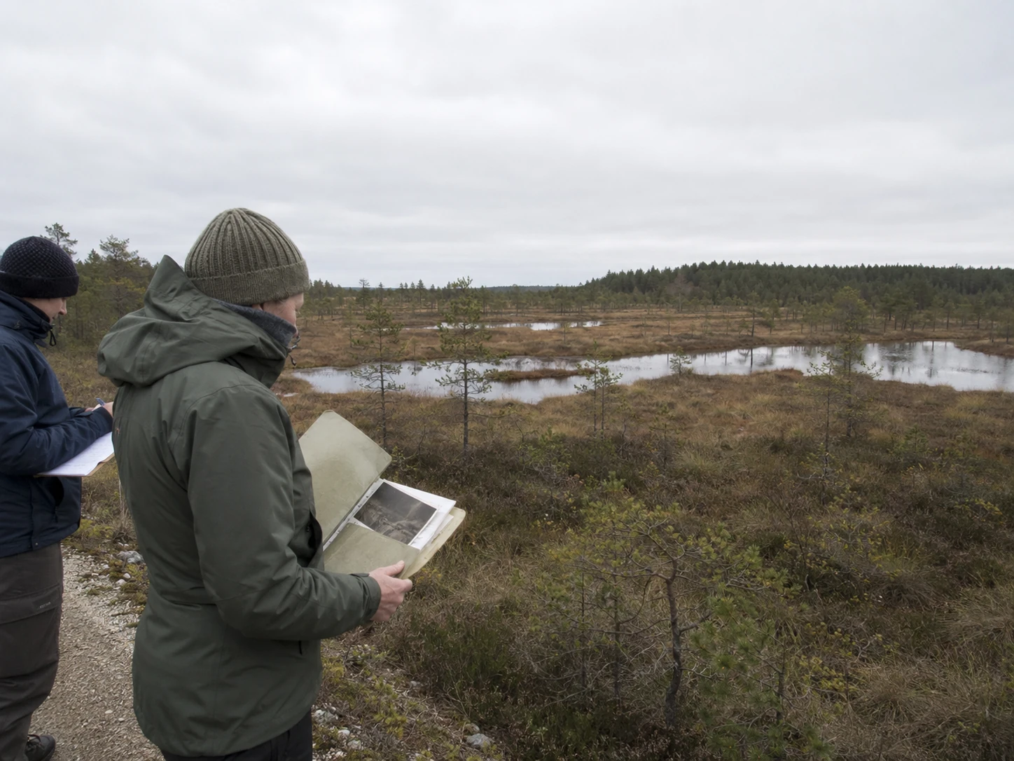
The Landowner's declaration is the starting point. Historic photographs, aerial records, maps, field notes and local knowledge may support continuity, but none of them establishes Ecological Age by itself.
The programme considers those sources together with the polygon's present ecological condition and the evidence gathered in the field. Responsible use may remain compatible with Sielsgrond where the supported condition and continuity of the mapped land have endured.
SGP1、SGP2 和 SGP3 描述了项目记录中包含的已接受证据连续性的程度。它们不是生态质量的等级、不同财产之间的排名,也不是自动支付的等级。
初始证据位置
第一份接受的项目记录包括初始实地访问、照片证据、巡逻日志条目、可支持的生态年限以及生成的管护证书。
由刷新支持的参与
至少已接受一次刷新周期,且文件中无未解决的非退化问题。
随时间推移的更深层次证据连续性
多季节或多年的证据提供了对多边形状况、连续性和持续保护的更丰富记录。
通过这些等级的移动反映了同一项目记录中接受的证据。它不代表自动的生态升级或固定的支付时间表。
持续参与由同一 Sielsgrond 多边形的接受刷新证据支持。
刷新会返回到已测绘的土地,更新实地记录,并将当前生态状况与之前接受的证据位置进行比较。可重复的照片和实地观察使随时间推移的实质性变化可见。
项目不会在每次访问时都开始新的记录。每次接受的刷新都会延长同一多边形的证据链,并可能支持向更深层次的证据等级移动。
如果刷新后的证据表明支持的状况或持续保护可能已实质性减弱,则必须通过项目流程解决该问题。普通的季节性变化本身并不构成退化。
SGP2 需要至少一次接受的刷新周期,且文件中无未解决的非退化问题。
接受的证据位置可以记录在 Sielsgrond 多边形的 BESCO 管护证书中。
证书标识了已测绘的土地、当时支持的证据位置以及记录适用的时期。它仍与生成该证书的实地证据、照片、项目记录和接受的生态年限相关联。
证书可以支持后续披露或下游评估,但它不能替代该评估、适用的项目规则或任何单独协议。
它不会转移所有权、创建地役权、授权付款或在土地上建立独立的法律主张。
证书记录了项目在该时间点所能支持的内容。持续的认可取决于证据记录保持最新,且土地继续受到保护。
Sielsgrond 记录仍与同一已测绘多边形以及接受的证据所支持的生态状况相关联。
只要持续使用仍与支持的状况、连续性和非退化性兼容,负责任的使用可以继续。持续保护不需要土地上完全没有人类活动,但需要确保记录的生态基础不被实质性削弱。
在项目能够支持进一步认可、披露或任何适用的下游流程之前,证据必须保持最新。对未来的保护承诺不能替代接受的实地证据。
此公共项目页面不会登记土地、转移所有权、创建地役权、授权付款或建立法律主张。任何此类效果都需要适用的规则、授权和单独协议。
项目将认可与已测绘土地、接受的证据和持续的保护联系在一起。